The names Vly Summit and Fly Summit have been used interchangeably throughout history. The Post Office (12-Dec-1870 to 31-Jan-1935) was named Fly Summit. Google and NYS DOT maps now use the name Vly Summit
Head southwest out of the Village through Center Cambridge until you get to West Cambridge (junction of County route 74 … the old Greenwich and Johnsonville RR bed or simply the G&J). Turn north on Cnty Rt 74 toward Greenwich. About 1 mile on Rt74 you will see Vly Summit Road on your left. There is a sign for Willard Mountain at the junction
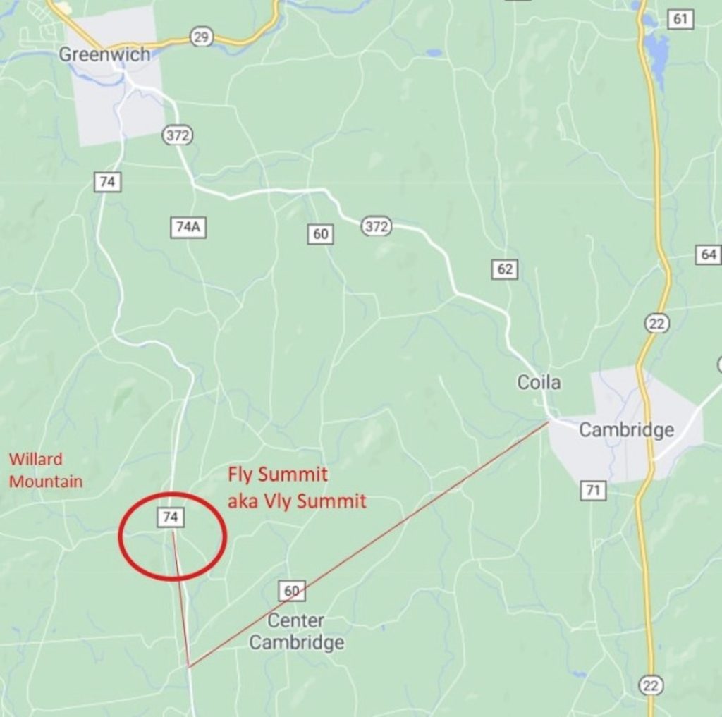
According to local folklore, during the Revolutionary War, Mr Willard used a spyglass to watch the British troops under General Burgoyne from the summit of that mountain. Along Cnty Rt 74 there is a large swamp known as a “Fly” which is a variation of the Dutch word “Vly” which means low lands subject to flooding (aka swamp or marsh). I suspect the little community of Vly Summit derived its name from those two bits of history
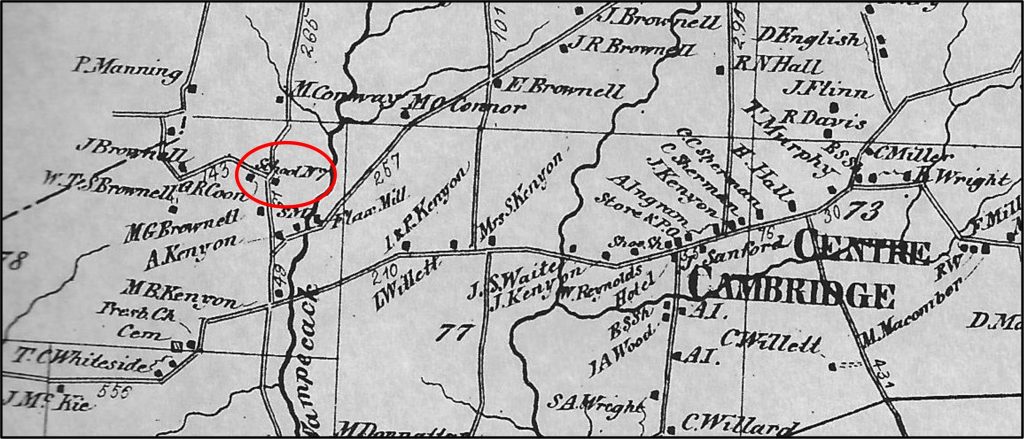
There was a one-room schoolhouse at the intersection of Vly Summit Road and Brownell Road, just a few hundred yards west of the G&J.
Something to think about the next time you’re heading over to Willard to ski