On 26-Apr-2016 the Village of Cambridge celebrates the 150th anniversary of its incorporation. This series explores the events that led to the union of the West End and the East End. To fully appreciate the unity and the division between “the corners” we must start our journey back in 1761.
The Cambridge Patent was issued on 23-Jul-1761 by representatives of King George III of England. A land patent is similar to a modern-day housing development. Our patent consisted of 30,000 acres divided into 30 lots.
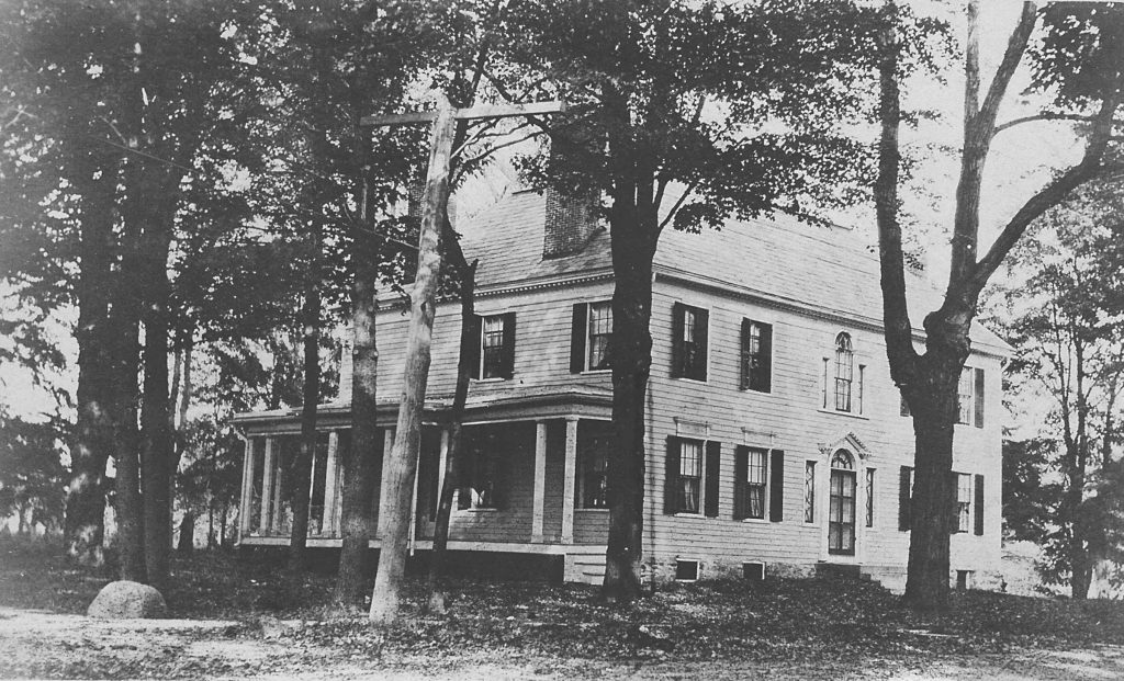
Most of the original 30 names listed on the Cambridge Patent didn’t come to Cambridge, instead selling their lots to land developers. The area was still a wilderness and the French and Indian War had only recently concluded. Edmund Wells is the most familiar name of the original settlers, owning the land along the Turnpike known as the Wheel House.
Thomas Morrison owned lot number 9 which was centered along the current Main Street. Many deeds in Cambridge still refer to the original lot number on the Patent. Morrison’s son was the first baby born in Cambridge.
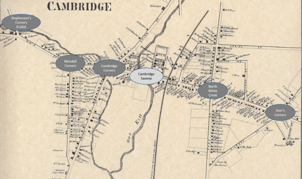
Over the next 30 years settlements sprung up at every intersection along what is today Main Street, giving rise to the name The Corners. Starting from the East there was Dorr’s Corners at Gilbert Street, East End at Park Street, Cambridge Corners at Union Street, Wendell Corners at Academy Street and Stephenson’s Corners (Coila).
In order to eventually unite into the Village of Cambridge, “the corners” would first have to overcome the physical separation known as the Cambridge Swamp. The Owl Kill and Cambridge Creek flooded regularly making Main Street impassable.
The next time you visit the green foot bridge in front of VARAK park notice that the Owl Kill is 4 feet lower than the bridge. That’s the result of JB Rice filling in the swamp in the late 1800s when he built his Seed House.
When Main Street was paved with Yellow Bricks in 1913, it first had to be leveled and smoothed. Dirt from as far east as Dorr’s Corners and as far west as Stephenson’s Corners was pushed to the middle of the village, filling in more of the swamp. This dirt made Main Street 3 feet higher than the green foot bridge.
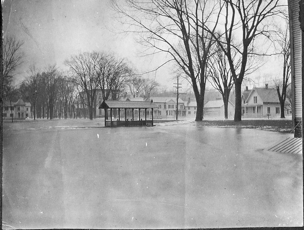
That’s a total of 7 feet of dirt that was dumped on the Cambridge Swamp. However, as the photo shows, Main Street continued to be flooded well into the 1930s. Look east as you travel South Union Street today and you’ll see the swamp is still here.
The Village of Cambridge had to overcome the physical separation between the East End and West End described above. However, more difficult was the logical separation. Next week we’ll focus on how churches, schools, stagecoaches, and post offices kept “the corners” separate for over 100 years.